Searching for information on Sanitation Workers?
The Sanitation Workers Knowledge + Learning Hub is the best source for all current news, trends, articles and updates on sanitation workers rights around the world.
The city of Jhansi is called as the Gateway to Bundelkhand, situated between the rivers Pahuj and Betwa at an average elevation of 285 metres (935 feet). It is about 415 kilometres from New Delhi and 99 kilometres south of Gwalior. Jhansi is a major commercial, tourist and educational centre in the Bundelkhand region of Uttar Pradesh state. In addition, there is a major industrial area at …
Jammu city is situated along the bank of River Tawi in the Union territory (UT) of Jammu & Kashmir. It is also regarded as the summer capital of the UT. Jammu is the district headquarters of Jammu district. The urban local body governing the city is Jammu Municipal Corporation (JMC). JMC has an administrative area of 189 sq.km which is divided into 75 wards and 3 zones. The density is 56 per sq. …
Jamalpur is also known as the Rail City of Bihar. It was established during the British rule for manufacture and repair of wagons, coaches, cranes. The city is located at a distance of 170 km east of Patna and 470 km North West of Kolkata. It is well connected with the rest of the country through rail and road networks.
The average annual rainfall of the district is 1231 mm and about 80% of the …
Bhagalpur is a city located on the southern alluvial plains of River Ganga, 220 km east of Patna and 410 km North-West of Kolkata. It is the third-largest urban centre of the state. Bhagalpur city is also the headquarters of Bhagalpur district. The city is divided into 51 wards. As per census 2011, the city’s population was 400.146, residing in 68193 households. The current population of the …
Bakshi Ka Talab Nagar Panchayat is a city under the Bakshi Ka Talab sub district of Lucknow district in the state of Uttar Pradesh in India. City is an organised settlement developed by Lucknow Development Authority (LDA). The city gets its name as Bakshi Ka Talab, which was constructed in 1807 by King Tripuresh Chandra Bakshi, while enroute to Nepal and took a halt in the area.
The population …
Ahraura is situated at a distance of 60km from Mirzapur District, in the state of Uttar Pradesh, India. The city lies in the Vidhyan Range, and at a distance of 340 km from the state capital, Lucknow. The population of the city, as per the Census of India, 2011 is 23,094. Population. The density of the city is 6,242 persons per sq.km, which is considerably high, when compared to that of Uttar …
Faridabad, the south-eastern district in the state of Haryana, was founded in 1607 AD by Sheikh Farid, the treasurer of the Mughal Emperor Jahangir, with the object of protecting the Grand Trunk Road, now called Delhi-Mathura National Highway-2 (Shershah Suri Marg). Faridabad is located at mean elevation of about 205 msl at 28.43°N 77.32°E on the plains of the river Yamuna bordered by the river …
Mandapeta was originally called "Mandavyapuram", which came from Sage Mandukya. Mandapeta is a second-grade municipality established on October 1st, 1958 in East Godavari District in the Indian state of Andhra Pradesh. It is located at mean elevation of about 15.48 msl at 16.520 N, 81.560 E.
Indore, one of the fastest-growing cities of India, is the largest city of Madhya Pradesh, in terms of its population, with 841 people per sq. km. One of the 100 Indian cities selected under the Smart City Mission (urban renewal and retrofitting program by the Government of India to make cities sustainable and friendly for its citizens). Indore is also the financial capital and education hub of …
Tinsukia, the headquarter town of Tinsukia district, is situatedon NH-37 in the north-eastern part of the state of Assam, India. Originally Tinsukia was the capital of Motok Kingdom and was known as ‘Changmai Pathar.’ Located at a distance of 491km east of State Capital, Dispur, it is strategically connected to surrounding tea gardens, oil towns, coalfields, orange cultivations and other …
Aya Nagar is situated on the Southwestern edge of Delhi. It is the last village of Delhi on the Mehrauli Gurgaon Road which connects South Delhi with the rapidly urbanizing city of Gurgaon in the adjoining state of Haryana. The settlement is bound by government campuses, the Aravali Hills and ravines formed by an ancient river course, now dry. It is one of the few villages in Delhi which has …
This publication shares guidance and tips on how to edit Wikipedia. It is intended for researchers, practitioners, communicators and any others with access to climate change information who would like to share it more widely with the world.
Wikipedia is a powerful platform to make climate change information accessible to all. However, people working in the climate change field often overlook …
Waling municipality, established in 2053 BS (1997 AD), lies in Syangja district within Gandaki Province of Nepal. The municipality is located within latitude 28° 3 '2.412'' North to 27° 55' 26.58'' North and longitude 83° 41' 36.852'' East to 83° 50' 18.456'' East. This SFD Report was produced on 11/04/2019 and last updated on 05/10/2020.
Lakhimpur Kheri is the largest district in Uttar Pradesh, India, on the border with Nepal. Its administrative capital is the city of Lakhimpur. Lakhimpur Kheri district is a part of Lucknow division, with a total area of 7,680 km2 (2,970 sq. mi) out of which 10.10 km2 is the Lakhimpur Nagar Palika. This SFD Report was produced and last updated on 16/09/2020.
Lahan municipality is located in Siraha district of province number 2, Nepal. The municipality is divided into 24 wards. The municipality is home to 91,766 people as per census 2011. The population growth rate was 1.16% per year from 2001 to 2011.
This SFD Report was produced on 09/06/2020 and last updated on 30 /09/2020.
Kathmandu valley lies between the latitudes 27˚32’13’’ and 27˚49’10’’ north and longitudes 85˚11’31’’ and 85˚31’38’’ east at a mean elevation about 1,300 metres above sea level. Kathmandu Valley is the most developed and populated place in Nepal. The majority of offices and headquarters are located in the valley, making it the economic hub of Nepal. The SFD was …
The Ministry of Education and Sports recognizes that Water, Sanitation and Hygiene (WASH) programs in schools (WinS) are a key priority area and that improved hygiene practices and a clean school environment are contributory factors to ensuring that learners can enjoy an acceptable standard of health. The need for a clean school environment is highlighted in the 2016 School WASH mapping report. …
UNICEF/WHO reports that 1.7 million children die annually of diarrhea and pneumonia. Handwashing with soap under running water can prevent the majority of infectious diseases, such as COVID-19, influenza, cold, cholera, dysentery, and contagious eye disease. Several studies have reported reduced incidences of pneumonia and diarrheal diseases by over 40% to 50% through handwashing. However, many …
An excreta flow diagram (also often described as shit flow diagram, SFD) presents a clear picture of the outcome arising from wastewater and faecal sludge management practices and services in a city or town. This is expressed in terms of the percentage of the population. An accompanying report describes the service delivery context of the city or town.
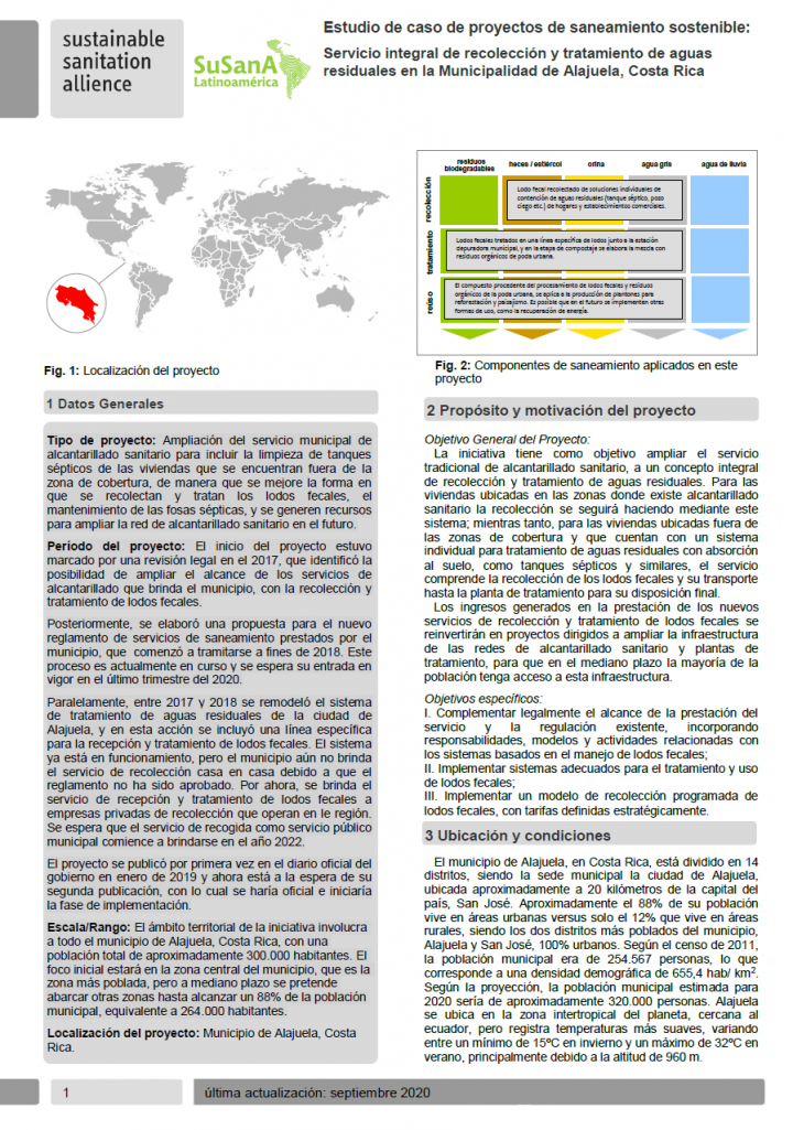
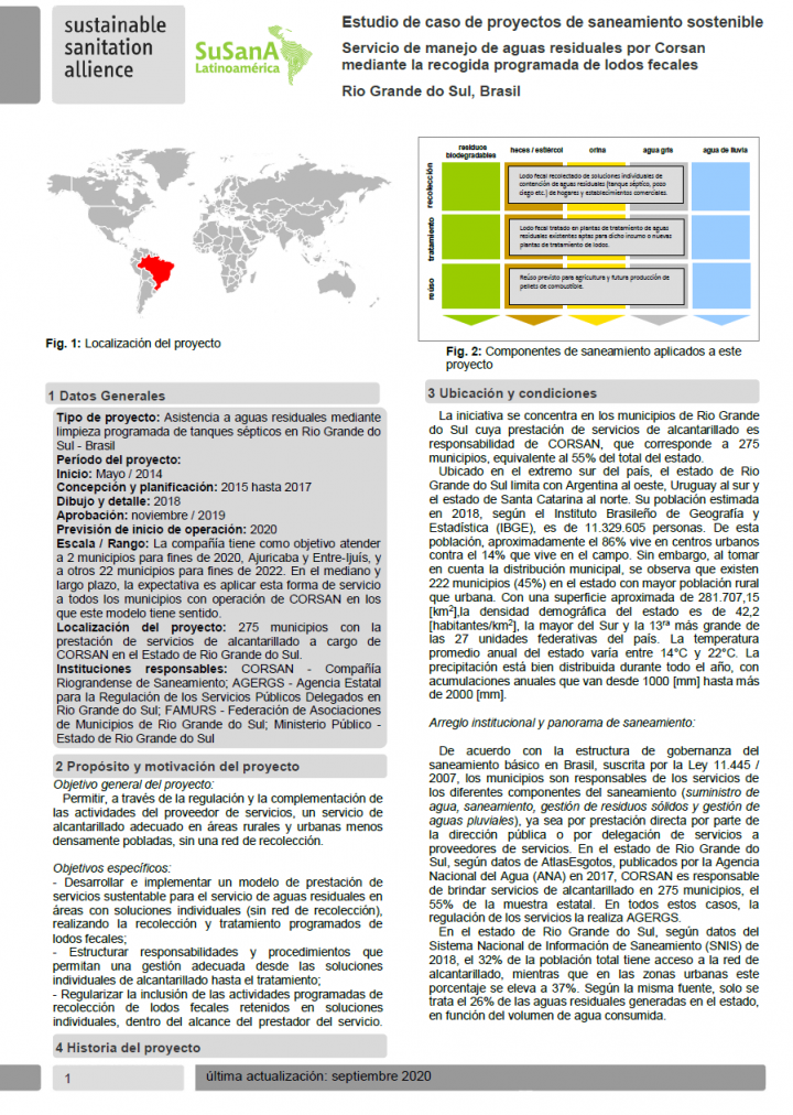
La iniciativa tiene como objetivo ampliar el servicio tradicional de alcantarillado sanitario, a un concepto integral de recolección y tratamiento de aguas residuales. Para las viviendas ubicadas en las zonas donde existe alcantarillado sanitario la recolección se seguirá haciendo mediante este sistema; mientras tanto, para las viviendas ubicadas fuera de las zonas de cobertura y que cuentan …
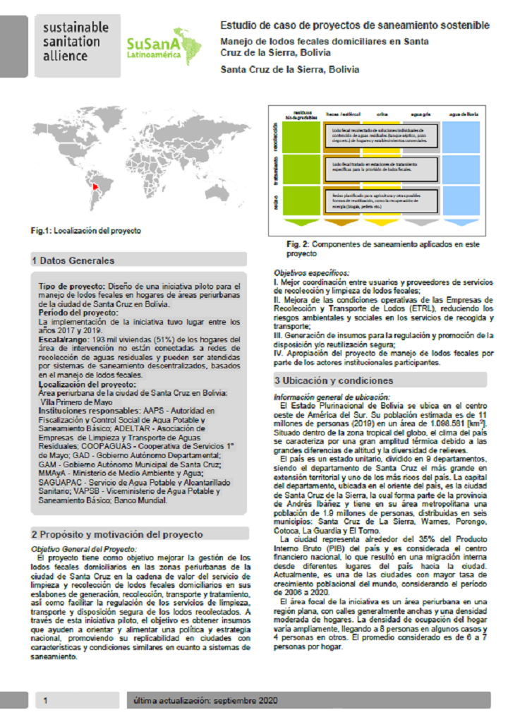
El proyecto tiene como objetivo mejorar la gestión de los lodos fecales domiciliarios en las zonas periurbanas de la ciudad de Santa Cruz en la cadena de valor del servicio de limpieza y recolección de lodos fecales domiciliarios en sus
eslabones de generación, recolección, transporte y tratamiento,así como facilitar la regulación de los servicios de limpieza, transporte y disposición …
The 30th SuSanA meeting - the first virtual of its kind - took place from August 17th to August 28th 2020. It was organised by the SuSana Secretariat with support and contributions from SuSanA Partners, Members, Working Groups and Regional Chapters.
This entry is the collection point of the different resources from the SuSanA Meeting, including recordings, presentations, flyers and program …

